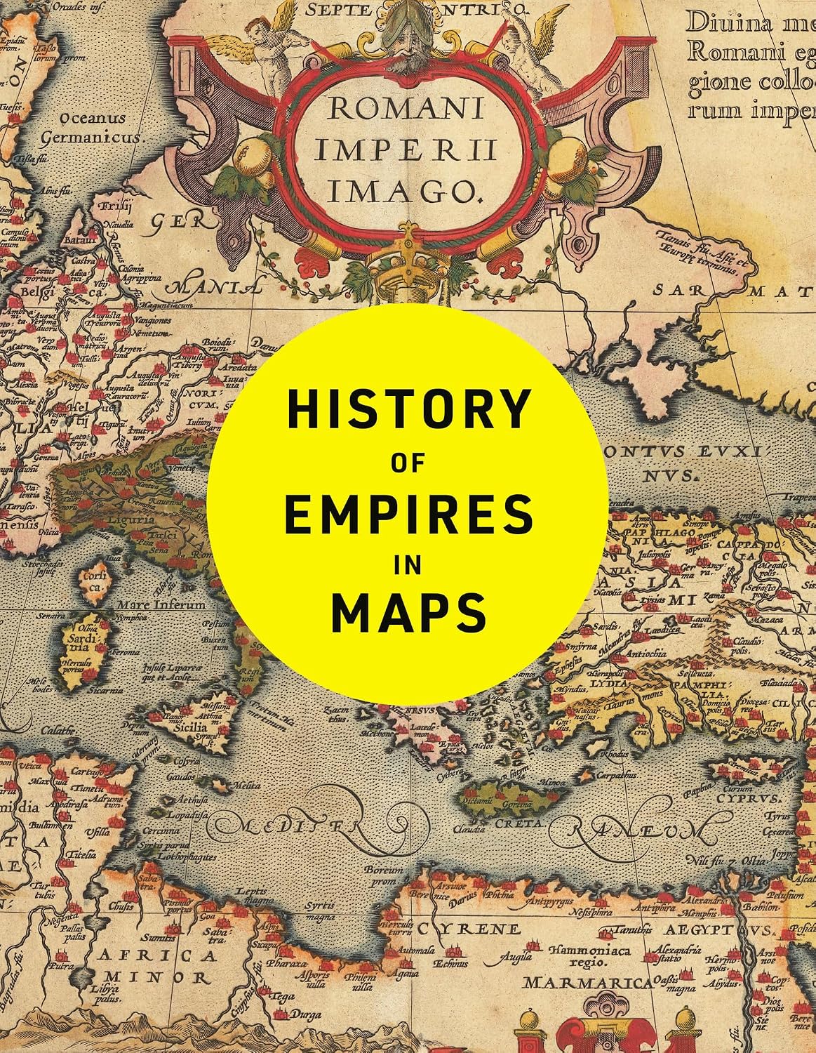
The ultimate cartographic exploration of the rise and fall of empires
The history of our world is the history of empires.
Is the age of empires over, and does it matter if it is? The question seems more consequential than ever, given the role empires have played in shaping the past, in the shadows they still cast on our present, and the concern that new, and perhaps more pernicious imperial structures may arise to blight our future.
The answer is not a simple one, given the more than 4,200 years that separate the first empire from the present, the presence of empires in some form on every inhabited continent of the globe, and the very varied forms in which these empires have developed and been structured – their means of control varying from cuneiform tablets to Maxim guns, their personnel from horse-borne nomads to khaki-suited colonial bureaucrats.
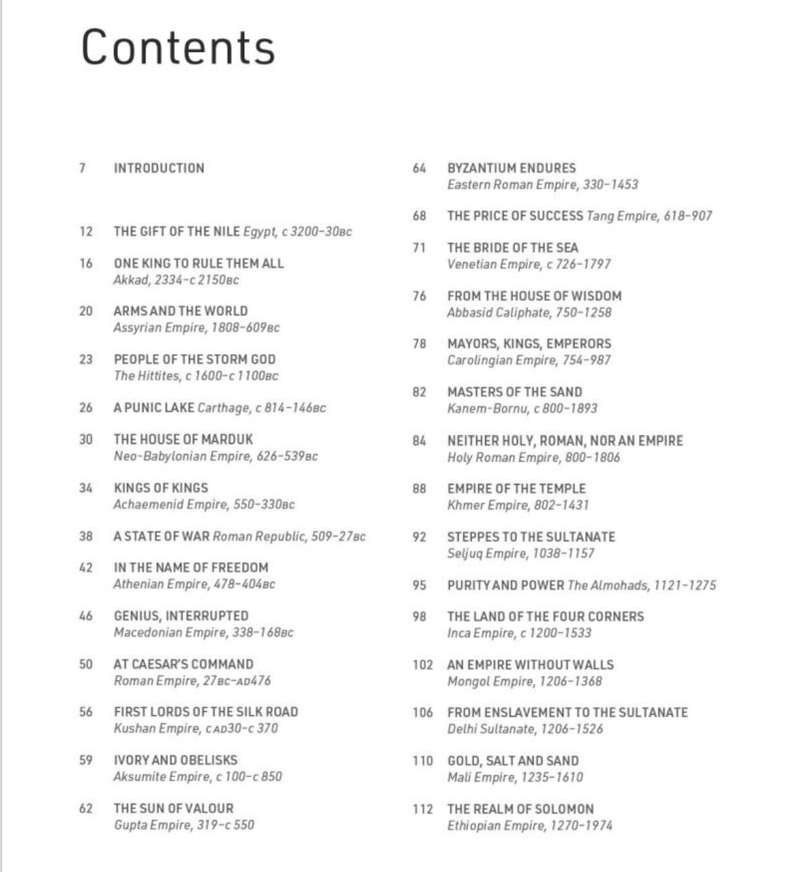
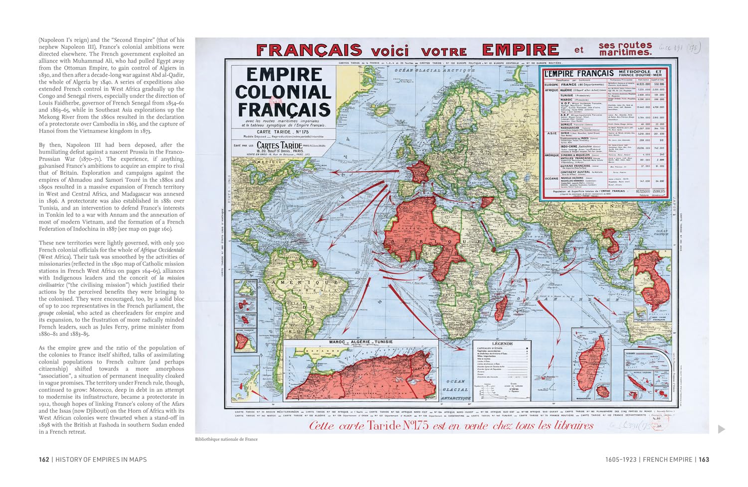
History of Empires in Maps attempts to give answers to what makes empires, how they arise, prosper and fall, through an examination more than 50 of them, from that of Sargon of Akkad in the 3rd millennium BC to the decolonisation of European empires after the Second World War. Contemporary or antiquarian maps accompany the text, vividly displaying the extent or key features of each empire – in some cases supplemented by modern thematic mapping to illustrate the stages of its growth or decline.
Sample pages


To purchase History of Empires in Maps, follow one of these links: